Description
Located in the Dahlonega Gold Belt, this property consists of 136 acres with a mining history dating back to the early 1800’s. Early mining operations left behind hundreds of tailing piles and most of these contain gold! Primitive methods left behind lots of gold for the recreational prospector to recover with modern equipment and techniques. About one half mile of the beautiful Etowah River is a good producer of gold for our members. Lease includes to the center line of the river and also a couple of small feeder streams and numerous cuts and ditches dug by early miners. Excellent camping sites. Generally accessible with two wheel drive, four wheel may be required in inclement weather or to reach more remote areas.
Rules & Restrictions
Regular club rules apply. Camping is PRIMITIVE ONLY and allowed for 2 weeks at a time. Located close to Dahlonega and Auraria.
Panning, sluicing, highbanking, and dredging are allowed with a maximum dredge size of five inches. Please fill your holes and pack out your trash when you leave.
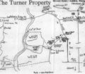
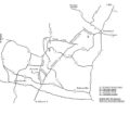
CLICK FOR FULL SIZE PROPERTY MAP
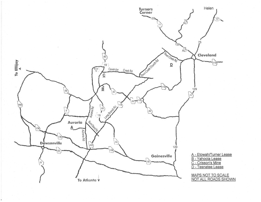
CLICK FOR FULL SIZE AREA ROAD MAP
-
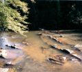
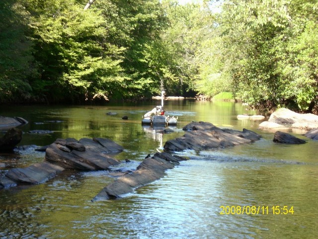 Etowah Bedrock
 -
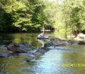
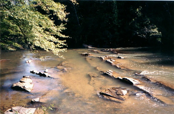 Etowah Shoals
 -
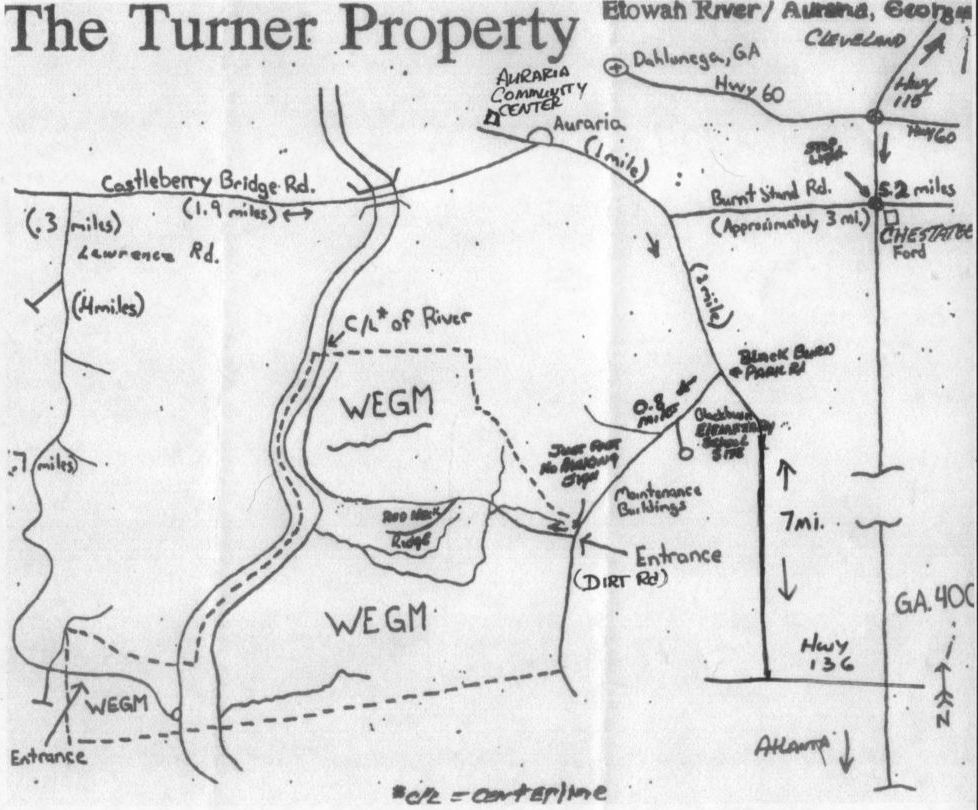 Turner Property Map
 -
 Etowah property
